
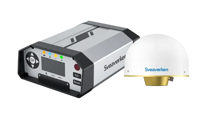
Sveaverken N10
CORS System
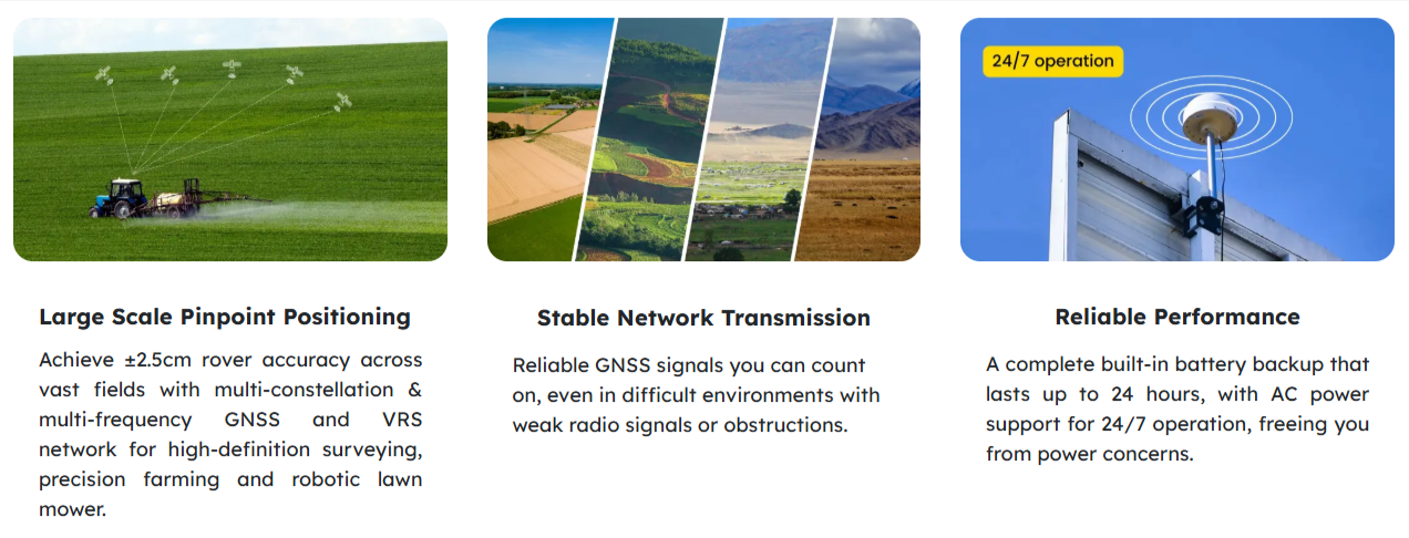
Pinpoint Accuracy for Large Scale Precision Task
The Sveaverken N10 is a CORS network system that provides centimeter-level RTK accuracy for precision agriculture, surveying, and mapping. An internet-based solution that utilizes a multi-frequency approach for wide-area, high-accuracy positioning. Manage stations, accounts, and VRS calculations efficiently. N10 stands as the ideal option for both individual users and Ntrip service providers.
Simplifed Workflow
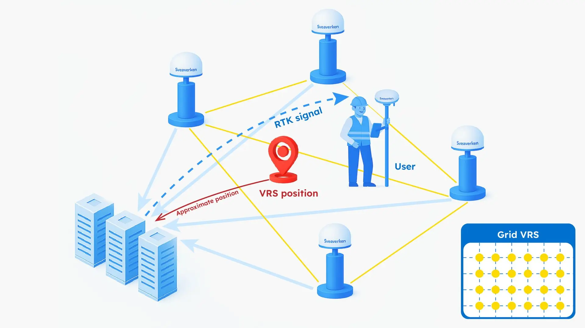
Data Transmission
Data Processing and Management
As a N-RTK platform, FLBS can process raw observation data from a reference station and the approximate user position from the end user side (rover), generate and broadcast differential data (RTK signal) via the network, ensuring real-time dynamic positioning of users in the area.
FLBS efficiently manages CORS via an easy-to-use reference station management, RTK account management, user management solution, with timely fault detection and warnings.

Built for End-Users or Partners

Single-Station RTK
Virtual Reference Station
Specifications
GPS L1C/A/L2P (Y)/L2C/L5
GLONASS L1/L2
Galileo E1/E5a/E5b
QZSS L1/L2/L5
Vertical: 2.5 m
Vertical: 1.5 cm + 1 ppm
Vertical: 5.0 mm + 1 ppm
DC 9 ~ 36V